 so happy we made it across
 Had to go to this
 HAPPY 72
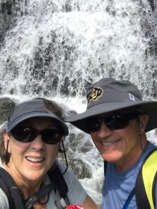
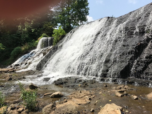 Crossed this falls
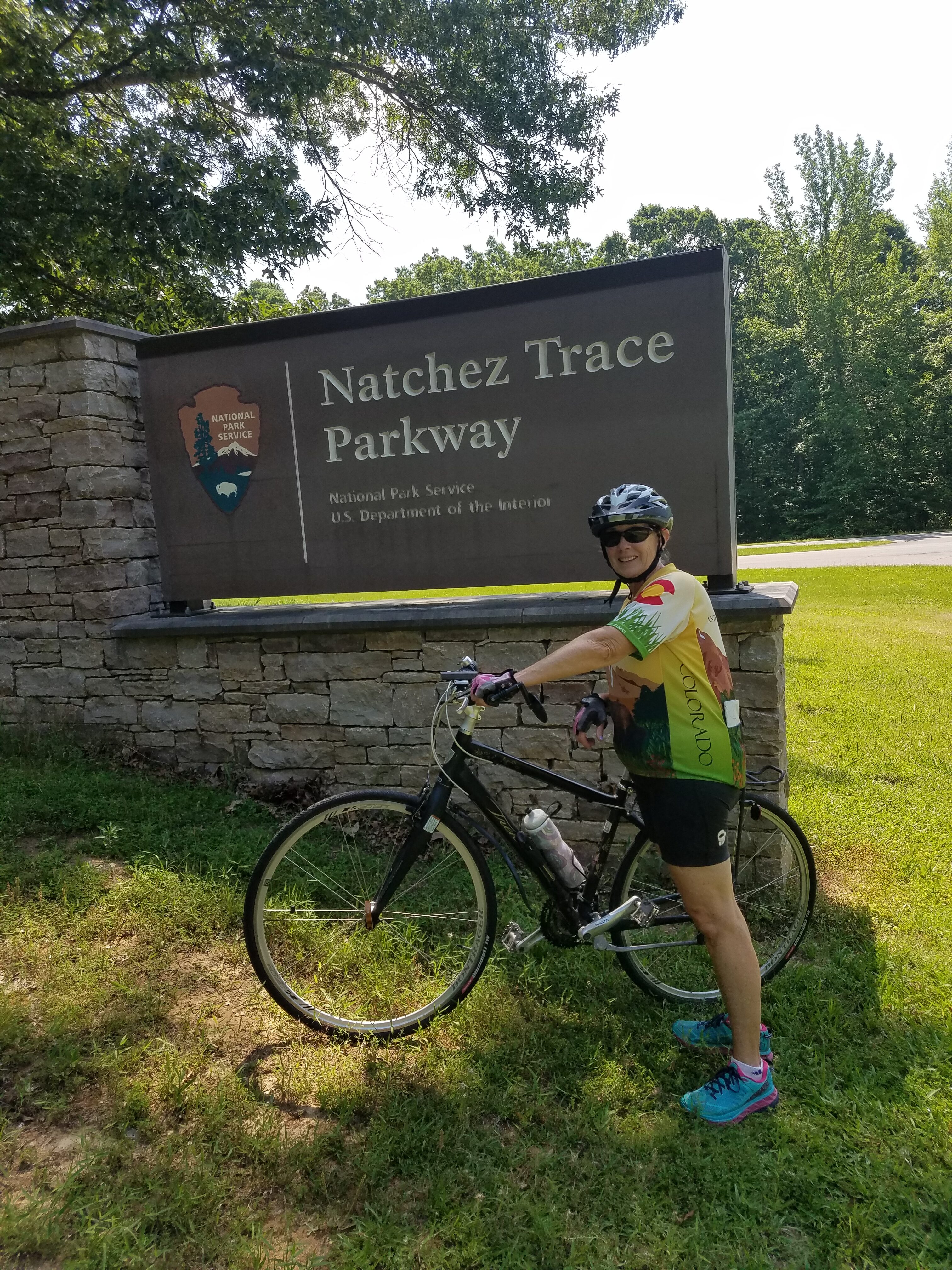 Natchez Trace
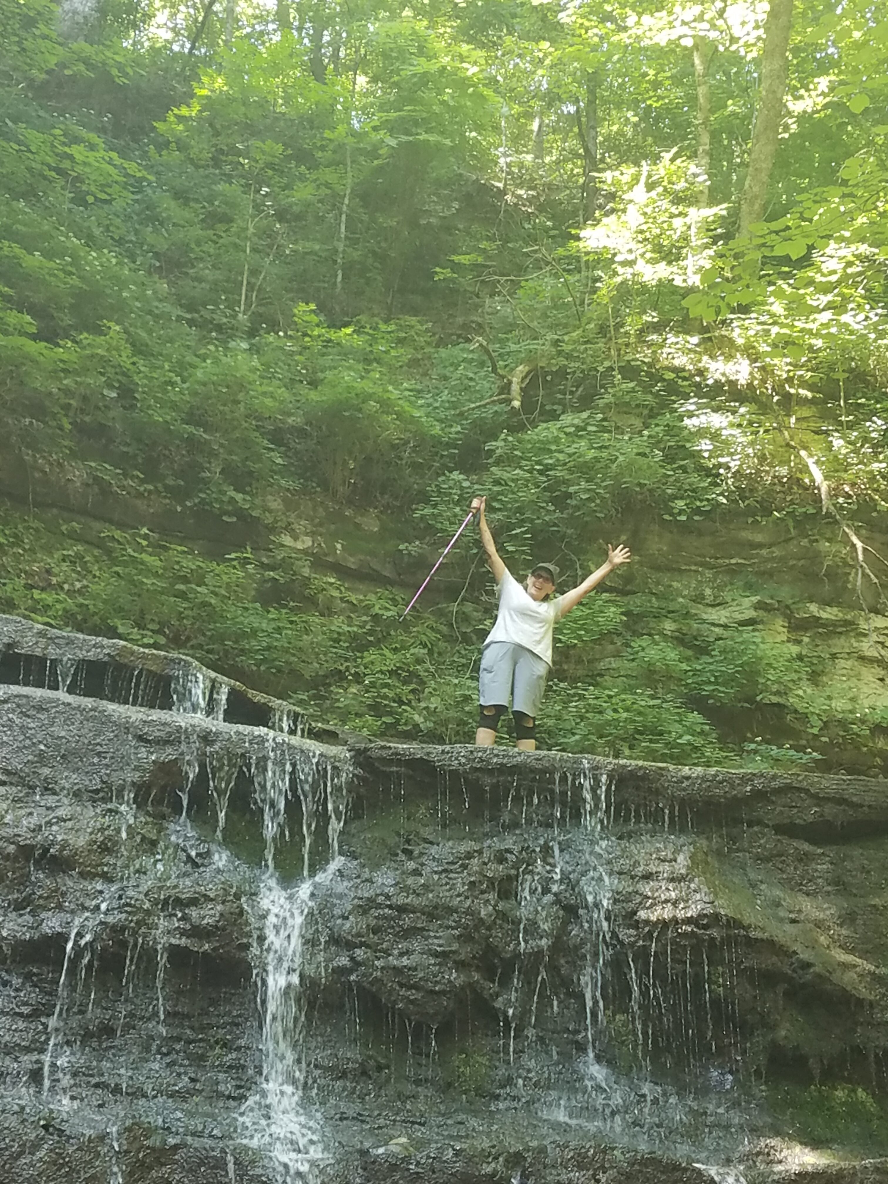 900 steps down to falls
Natchez Trace May 22 – June 6
Natchez Trace is 440 miles long stretching from Nashville Tennessee through a small section of Alabama ending in nowhere Mississippi. Honest, looking at a map I can’t name a city at the south end of this road that most of us would recognize other than the town of Natchez. Just know after you have gone 440 miles south of Nashville you are at the end of the Trace.
Having said all that Jane and I have enjoyed our stay here. One of our first days reminded me of our old tent camping days. We started with some exercise in the morning and then took a picnic lunch and spent the afternoon along the Buffalo River. The river had a short rapid running through a boulder canal that dug the bottom out to chest high depth, it was great fun body surfing through it and then trying to walk back against the current. The water was fine obviously not a Colorado river.
The campground we are in is called Natchez Trace RV Park, a Thousand Trails run/owned establishment, which is in the middle of nowhere. Nearest town is Holdenwald TN. We are sure the kids call it “hole-in-the-wall”. WIFI or cell data is almost impossible to find. We have both a Verizon Jetpack hot spot and with the new truck with an On Star hot spot and neither one can be counted on for reliable WIFI or cell data. If congress ever gets its act together and does some infrastructure work I fully support bring technology to rural America. Our initial exposure to the campground was pretty negative. It was Memorial Day weekend and the park was filled with campers driving ATV’s and golf carts most gas driven making them very loud. Folks would drive them around the campground like they were in high school cruising Main Street on Friday night. To make matters worse they were all very friendly and waved as they went by. We were going to need ice for our shoulders before the weekend was over. To alleviate that problem, we turned our backs to the traffic flow and just put up with the noise. Because of the holiday we couldn’t leave until Tuesday but all of a sudden everyone was gone Monday night and it was quite peaceful so we decided to stay. Did I mention that our stay here was free? Buying our RV through Lazy Days RV entitled us to 265 days of free camping at selected campgrounds and this was one of them! So we can put up with the “Cruisers” for another weekend – which was short and not as crowded.
Anyway, as I mentioned the Trace is 440 miles long and based on the 150 miles or so we have traveled the road is in excellent condition, no commercial trucks allowed, no harsh winters etc. It is a twisty turney rolling hills very pretty ride. Turns out when bike riding you are on the road, no shoulders not very wide a couple of signs tell bikers to take the whole lane. I needed a few more of those signs to feel comfortable taking the whole lane but for the most part what few drivers there were, they were very courteous and patient. Finally, a great biking experience one could go 440 miles if one liked.
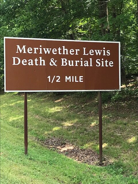
Also found a good hike at the “Death and Burial” site for Merriweather Lewis of Lewis and Clark fame. It is the place where he committed suicide and was buried. Some folk think he was murdered because he shot himself twice, ouch.
In reality other than many historical sites along the road all of them clearly marked some of them very interesting some not so much there is not much here. The scenery is very consistent with thick tree and vegetation along both sides of the road with very little variation. Very peaceful very nice.
We will spend a couple of more days here and then move on to our next destination a National Forest area called Kentucky Lakes, as you might imagine in Kentucky.
Hope everyone everywhere is doing well.
Ty
- Before Jane goes into detail, my latest mishap was a bridge fell out, which I did find a couple of day later, then a one-hour trip to find a dentist, problem solved.
Blog Editor notes
I had a really fun story about the “lost bridge” but since Ty took over writing the blog this time, decided to leave it alone. Jane
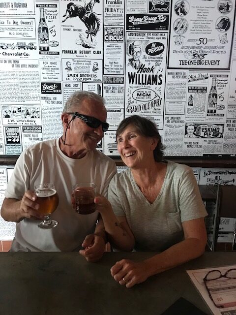
Ty Turns 72
Funny how Ty didn’t mention anything about this big event – he is not in denial I am sure, but most of just slipped his mind – short term memory ya know. Anyway, spent the day with me being the designated driver and started the day doing some short hikes to a couple of falls, then off to celebrate with lunch first at 55 in Franklin then off to try and get 4 satmps that are either wineries, distilleries, or breweries so we could qualify for a Master & Maker tee shirts. Started out with a distillery, H&L Clark which is a very small place but learned the difference between a single batch and small batch (see definitions), then to a brewery (which was closed till 4pm – what?? It is 2 on a Friday afternoon). OK let’s hit the winery, a beautiful location on rolling hills with some very nice whites (I am only a 1 sipper since I am the driver), then to another brewery called Mantra. Now this was an interesting place as in the mornings it is a yoga studio??? All of the beers lead off with Mantra something, like downward dog, salutation, twisted torso – you get the jest. Yeah – we have 4 stamps, off to Franklin (cute cute town) to the Visitor Center to claim our prize. Unfortunately, they did not have one in Ty’s size – but they promised to mail one to us. Will be on the lookout for a shirt.
Trails Not Clearly Marked – But we Persevere
The one thing that stands out to us is the trail system of marking where the trail head is and then when there is a fork in the road, which way to go. Since we are in an area that cell data is nonexistent trying to use All Trails is impossible, so we are relying on the old fashion paper maps, thank goodness for these or we would still be wandering around. Case in point, at the David (not Davey as I know) Crockett State Park we are trying to find the trail crossing a very swift river. We’ve been told that we have to cross the river, that it is about 4” deep where we have to cross which is not the problem. The problem we have is the trailhead is not clearly marked so we think we are on the trail and come to the water crossing, but it is at the top of waterfall – waist deep. Don’t think this is spot. Back to ranger station, explain situation…oh did we forget to mention that you cross over at bottom of waterfall? Ok, back to trail – let’s look for different spot and this looks really promising as we found the bottom of falls but can’t see where to get back onto trail once we cross over. Hooray for some young kids who come walking past, thru the water and scramble up the bank and disappear. Ok, here we go – it turns out to be a fun crossing just below falls, then up the bank into the abyss and we pop out to what looks like a trail. So, we begin, come across a couple of forks in trail and get out the trusty map and hike on. All in all, this 3-mile hike turned out to be over 5 miles (all the back and forth we did). Good Hike!
DEFINITIONS
For those of you who have ever traveled with me, I am a Google nut. I look up everything – so here is this week’s sampling
Single Batch – just as it sounds, but a limited amount of distilled whiskey all made from the same batch of grain.
Small Batch – limited amount of whiskey, however, this is a combination of several single batches.
Devil’s Cut – this is the dredges of the barrel (what’s left on the bottom).
Pike – referring to road, term used in Kentucky and Tennessee for a road that use to be a toll road or turnPIKE
Trace – the trail used first by animals, then Indians, and then the early settlers mainly from Ohio who brought goods down the rivers to Memphis, then walked back using the Trace.
Natchez – name of Indian tribe in Tennessee Valley area.
Natchez Trace – parkway named for the Indian and the road.
Trail of Tears – there are many, but all converge in Oklahoma and it was the force evacuation of the Indians to the reservations.
